Grand Traverse Bay (MI)
2 Documents on file
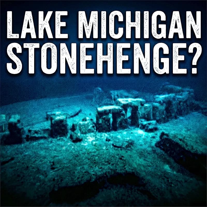
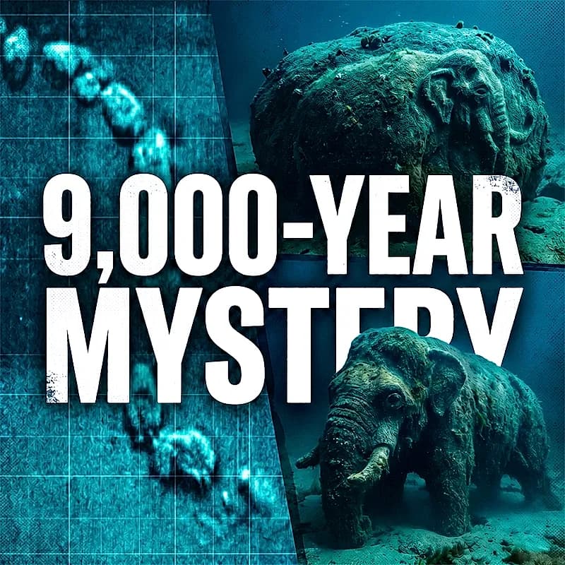
Grand Traverse Bay Stone Circle and Mastodon Petroglyph
This report is grounded in **Holley’s own public materials**, **contemporaneous 2007–2009 reporting**, a **2017 scholarly review of purported proboscidean rock art**, **official Great Lakes geology references**, and the **peer-reviewed Lake Huron comparison case** that Holley himself cites as the closest published analogue. [1, 5, 10, 16, 25, 26]
Forensic Analysis of the Submerged Grand Traverse Bay Stone Feature: Cultural Landscape versus Quaternary Geofact
In May 2007, an underwater archaeological survey of Grand Traverse Bay, a deep, 32-mile-long glacial indentation on the northeastern coast of Lake Michigan, yielded an unexpected bathymetric anomaly that continues to challenge regional paradigms of post-glacial human occupation. [1, 2] The investigation was initiated on behalf of the Grand Traverse Bay Underwater Preserve, a marine conservation zone established under Michigan's state preserve system to catalog, manage, and protect historically significant shipwrecks. [2] Using a Kongsberg-Mesotech MS 1000 sector-scan sonar, a research team led